
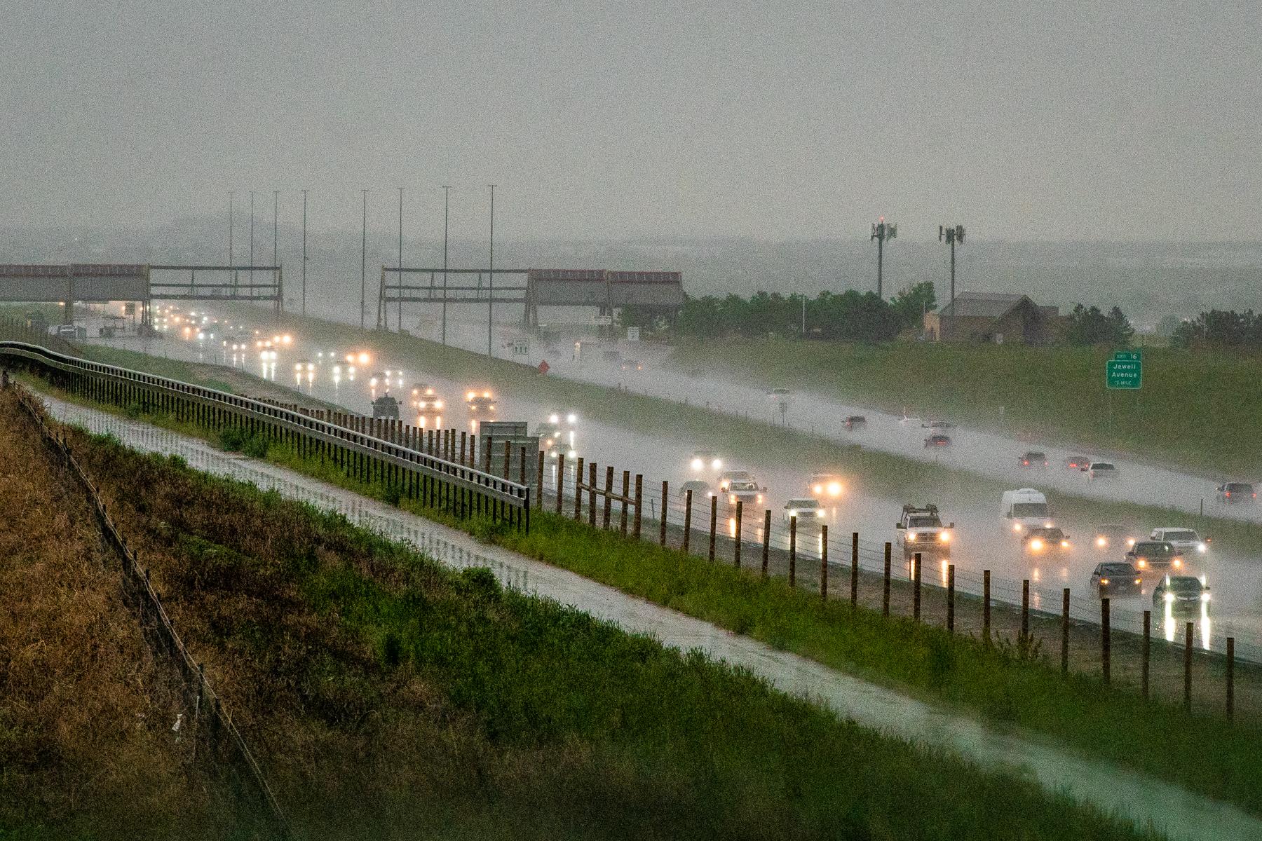
A severe thunderstorm watch is in effect for all of the Denver metro area, north to the Wyoming and Nebraska borders, and as far east as Sterling.
"As (storms) move east and get into much more moist and unstable air, they'll become pretty severe," National Weather Service meteorologist Paul Schlatter said. "Up the baseball size hail possible with the strongest storms."
Damaging winds up to 70 mph are possible as the storms organize and move east. Schlatter says the eastern portion of metro Denver will probably be most impacted by the storms.
A small landspout was already spotted near Denver International Airport this afternoon, and a ground delay is in effect until 11 p.m. As of Thursday evening., 61 flights were cancelled and 714 delayed at DIA.
The severe thunderstorm watch includes the following counties and areas: Southwest Weld, West Elbert, South Larimer, Jefferson, Broomfield, Arapahoe, Boulder, Douglas, Adams, Denver Counties.