Colorado is known for its natural wonders, from majestic mountains to sweeping plains. And it’s that same topography that gives Colorado a unique distinction when it comes to severe weather.
“Why does Weld County have more tornadoes than any other county in the U.S.?” asked reader John Huggins of Thornton through CPR’s Colorado Wonders series. “And I’m trying to understand not only why that is, but why they are such a low magnitude.”
“It’s a great fact, and it's a very surprising one, because you'd think it'd be somewhere down around Oklahoma City or Dallas,” said Denver7 Chief Meteorologist Mike Nelson, who’s been forecasting tornadoes in Colorado for nearly 50 years.
“Because of the terrain in Colorado where we have the Cheyenne Ridge to the north and the Palmer Divide to the south, there's a convergence line where air comes together,” explained Nelson. “And that goes from about Castle Rock through Aurora, up toward Keenesburg and all the way up into the middle of Weld County.”
Nelson says the area is called the Denver Vorticity Convergence Zone, where the air comes together, or converges, and starts to spin.
“The air can't go into the ground, it's forced to rise. And so you get these rising columns of air that form thunderstorms along this Denver Vorticity Convergence Zone. And those thunderstorms oftentimes will spin a little bit, and when they spin, they … can form a lot of small, oftentimes landspout tornadoes. And for that reason, really from about Bennett extending up through Weld County, it is tornado central,” Nelson said. “And therefore, Weld County, Colorado, is the tornado capital of the United States.”
Nelson recalls a tornado that hit the town of Windsor on the Weld County/Larimer County line 15 years ago, on May 22, 2008. It killed one person, injured nearly 80 and damaged more than 800 homes.
“That one was unusual for a number of different reasons. One, it was a killer tornado. We don't get a lot of those in Colorado. We've had very few fatalities compared to states to the east of us,” said Nelson. “Two, it started at 11:30 in the morning. Most of our tornadoes are in the late afternoon. And three, it went from the southeast toward the northwest.” Nelson points out, that’s backwards from most tornadoes which travel west to east. “This one went back toward the mountains, and that was due to a really dynamic weather system that we had that particular day.”
The tornado was category EF-3, which can generate winds up to 150 miles per hour. “It was unusually strong this close to the mountains because typically our air is too dry up here to get the really big thunderstorms that produce the really big tornadoes.”
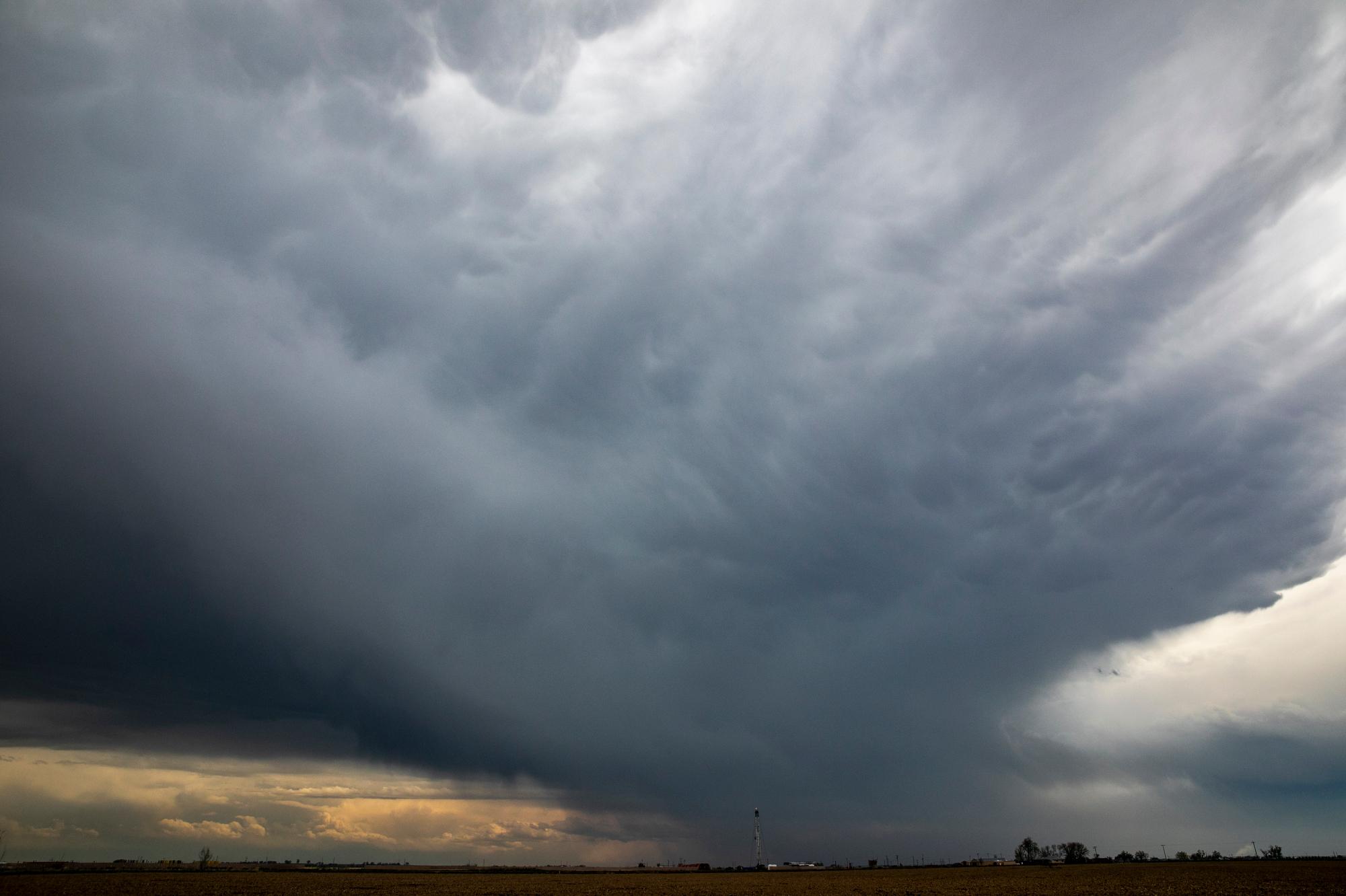
There were two category EF-3 or stronger tornadoes this year in Colorado — the first time that happened in 30 years. This summer was also one of the busiest in decades for tornadoes in Colorado. NOAA’s Storm Prediction Center tracked 76 twisters in Colorado through mid August. And there were not just more of them, but they were stronger as well.
“This year we had a wet summer and a cool summer, relatively speaking,” said Nelson, “And because we had a fair amount of rain, it cooled the atmosphere a little bit. More clouds, more rain, more moisture in the soil to evaporate out.”
Many of the tornadoes were spawned by what are known as supercell thunderstorms. “The warm air and the cold air get into this kind of shoving match,” Nelson explained. “And that air is forced to rise and forms big thunderstorms. And if you have a strong jet stream up at about … 30,000 feet, that is going over that developing thunderstorm, it will cause that entire cloud to spin very slowly.”
Nelson compares it to a figure skater. “When they do one of their spins, they start with their arms way far apart, and they're spinning kind of slow, but as they pull their arms in, it's called conservation of angular momentum that's spinning it smaller and faster and faster and smaller. And eventually you get a tightly rotating tornado that can drop out of that supercell or rotating thunderstorm.”
Nelson says Colorado’s topography is also the reason we get so many hailstorms. “That same zone creates a lot of big, nasty thunderstorms that can drop large hail.”
A hailstone that fell in Yuma County on August 8 shattered the state’s largest hail record. The large chunk of ice measured 5.25 inches wide on the day it fell. It came from a severe storm that produced several tornadoes.