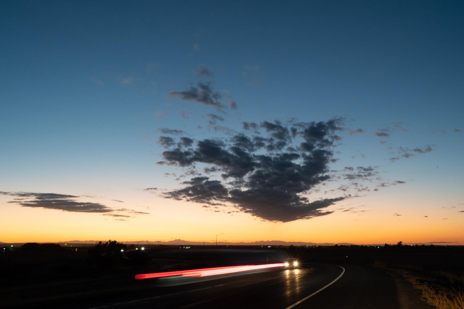
The warm start to autumn is continuing along the Front Range and in Grand Junction, but conditions are expected to cool toward the end of the week, possibly bringing snow to the mountains.
Along the I-25 corridor, residents in Denver, Fort Collins, Colorado Springs and Pueblo will experience highs in the upper 70s and low 80s through Wednesday. While it will get chilly overnight, temperatures won’t drop below freezing. Grand Junction will experience similar conditions.
High temperatures will begin to drop starting Thursday. Highs are expected to sit in the mid-50s for urban areas, with a good chance for below-freezing lows on Friday and Saturday. The change in weather could bring rain to northern Colorado, with a small chance of snow closer to the Wyoming-Colorado border.
The cold front is expected to bring frigid temperatures and high winds to high-elevation mountain towns. The National Weather Service warned travelers that snow is likely late Wednesday and early Thursday.
“Confidence is growing that several inches of snow will accumulate in the mountains late Wednesday night through Thursday night, with some travel impacts for higher mountain passes,” a NWS forecast said.
Urban residents may not need to wait much longer for the first city snow — NWS data shows the average first snow date in Denver is October 19. Last year, the first measurable snowfall in Denver arrived on Nov. 4.


