The cold front that swept through Colorado last week has ended, with warmer-than-normal fall temperatures returning to the state for the foreseeable future.
Highs in the Denver metropolitan area and the I-25 urban corridor will consistently reach the mid-70s through the week. The National Weather Service expects Tuesday to be the warmest day this week, likely contributing to increased fire danger in the urban pockets and the Eastern Plains.
“It will be a mild and dry week with few weather concerns. There could be small pockets of elevated fire weather conditions on Tuesday and Wednesday mainly across the Cheyenne Ridge and South Park,” an NWS forecast said.
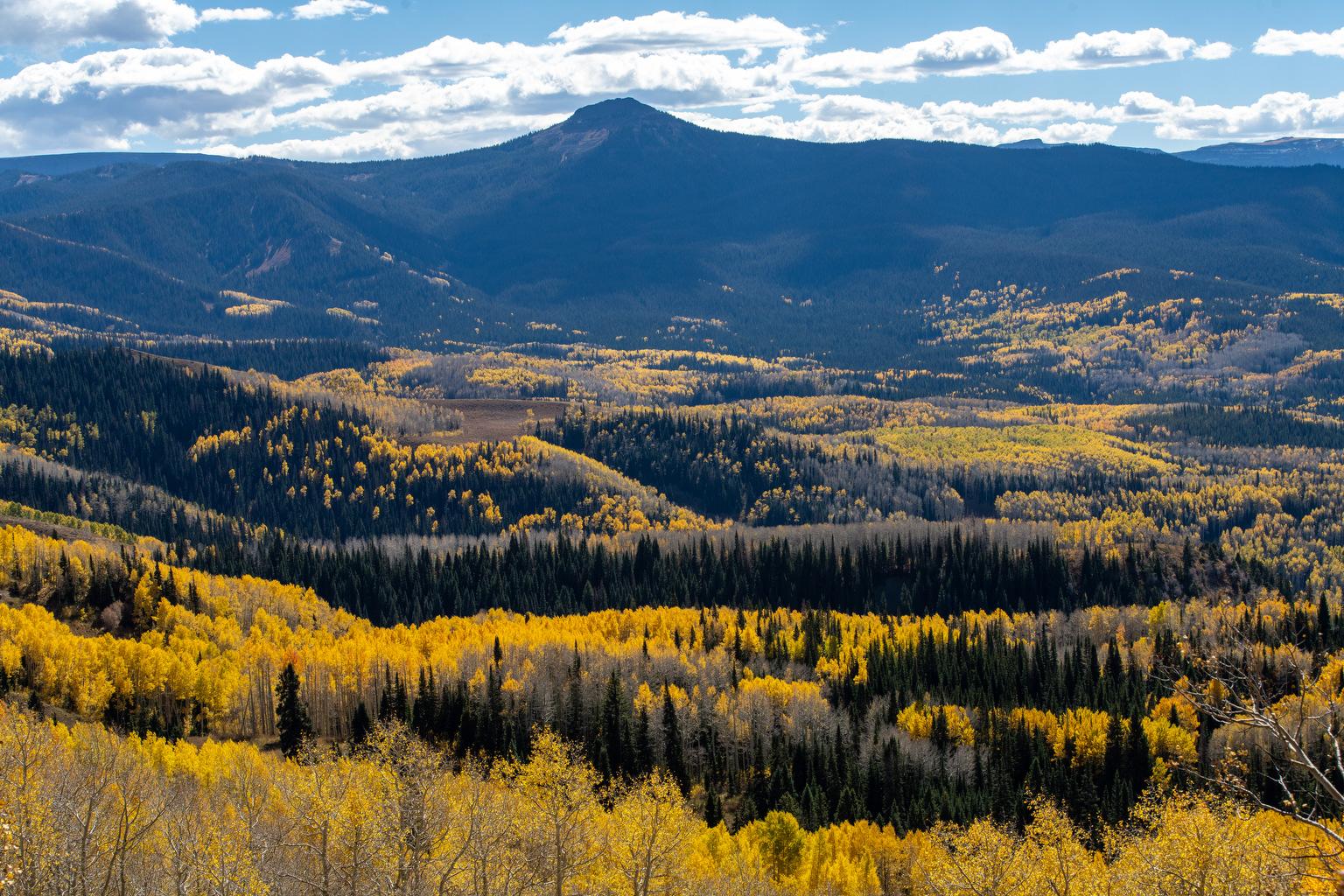
Last week’s cold front dumped several inches of snow onto Colorado’s highest peaks. Mountainous communities will continue to see colder temperatures than the rest of the state this week, with highs in the low-to-mid 60s.
Grand Junction and the surrounding Western Slope will also see warmer temperatures, with highs in the mid-70s.
This relatively nondescript weather will continue through the week, and part of next week. That means the Front Range will likely continue to wait for its first measurable snow. NWS data shows the average first snow date in Denver is Oct. 19. Last year, the first measurable snowfall in Denver didn’t fall until Nov. 4.