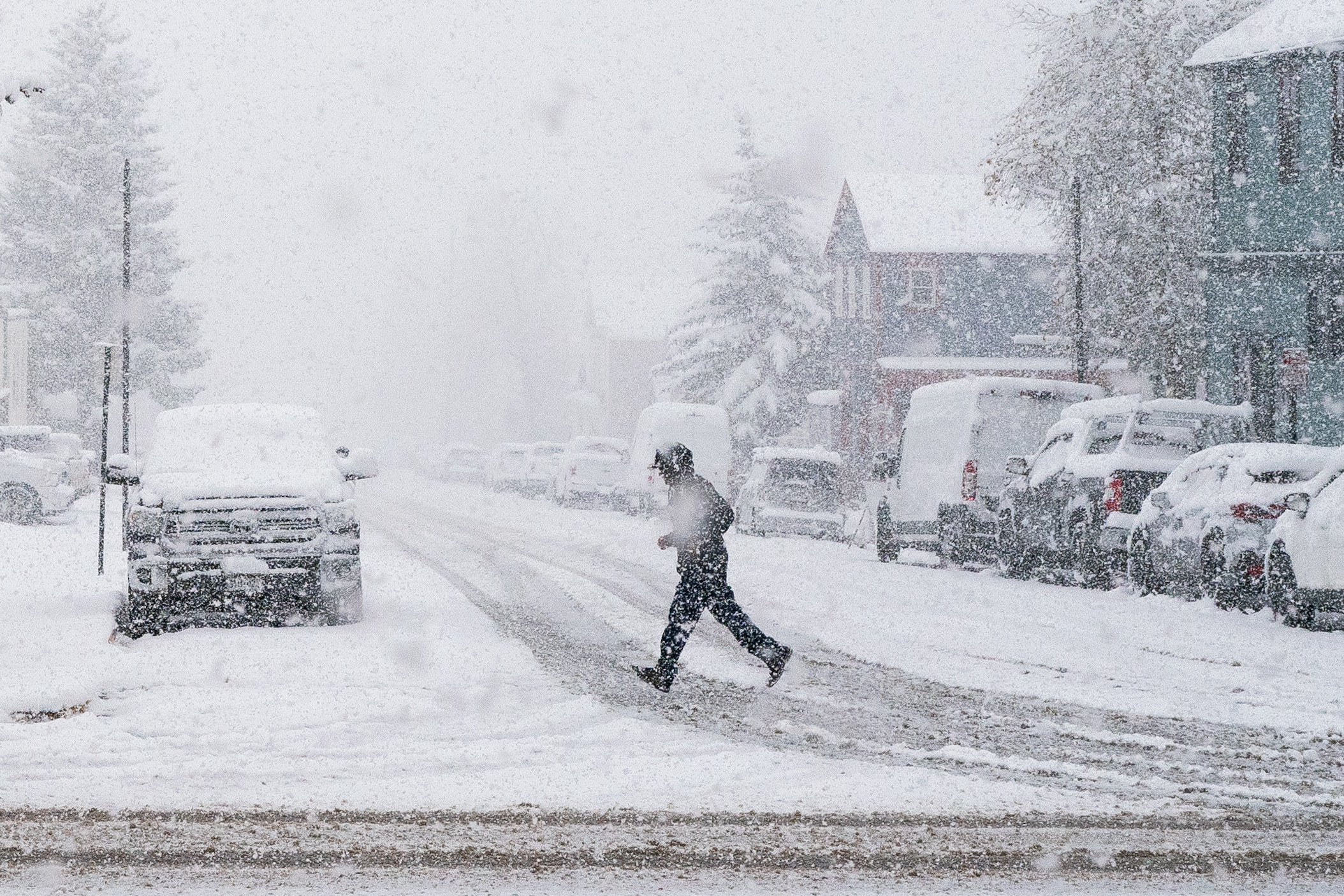
Colorado’s first major winter storm of the season has come, dumping large amounts of snow across the state and causing widespread travel disruptions.
Along the I-25 corridor, Colorado Springs, Fort Collins and the Denver metro area all received the first measurable snowfall of the season. Accumulation totals since Saturday morning range from 4 inches in parts of Fort Collins to as much as 12 inches in parts of Colorado Springs.
Snowfall amounts are higher further into the mountain. The most snow recorded thus far is at Copper Mountain near Leadville, where nearly 17 inches of snow have fallen since Saturday morning. The storm may be good news for skiers, who are eagerly awaiting the opening of Colorado’s ski resorts.
The snow storm mostly avoided the Western Slope. Grand Junction hasn’t seen any snow accumulate this weekend, with little chance for any snowfall for Sunday.
An additional 2 to 4 inches are expected to fall throughout the Front Range and the mountains on Sunday, before above-freezing temperatures return to the state.
Roads in impacted areas are expected to be slick and dangerous. Multiple roads, including Interstate 70 and U.S. 285, have mandatory chain laws in effect. The Colorado Department of Transportation is reporting multiple crashes along I-25 in Denver and Colorado Springs. Drivers are being cautioned to take it slow or stay off the roads entirely, if possible.
Air travel will also be impacted by the snow and freezing temperatures. On Saturday, Denver International Airport reported a ground delay of over 2.5 hours due to snow and ice. As of Sunday morning, there have been 216 delays within and out of DIA, and 19 cancellations, according to flight tracking website FlightAware.