Updated Feb. 2, 2024 at 7:55 a.m.
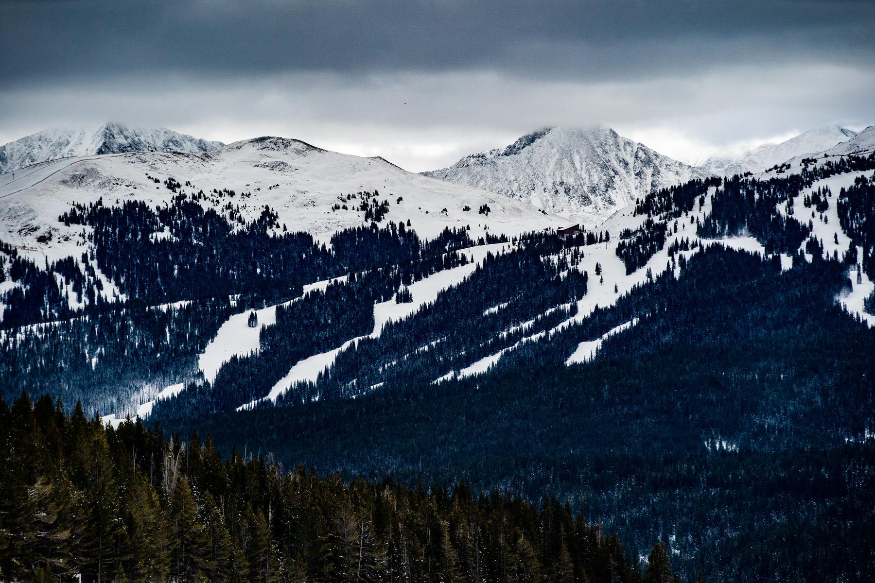
A major winter storm is expected to bring several inches of snow to the mountains over the weekend, with lesser impacts forecasted for the Front Range.
The National Weather Service has issued a Winter Storm Watch for several areas along the I-70 corridor. Those areas should expect to receive over 6 inches of snow through Saturday. Accumulation could reach up to 20 inches in certain areas, including near Eisenhower Tunnel, Mount Blue Sky and parts of Rocky Mountain National Park. Travel is expected to be dangerous at higher elevations and is not recommended unless absolutely necessary.
Grand Junction will also see some flurries through the weekend, however accumulation is not expected to reach the heights of mountain towns. The NWS expects less than an inch in the Western Slope city and its surrounding area.
Forecasts for the I-25 corridor are far less confident than the ones for the mountains. The highest chance for snow is on Saturday, although the NWS says, "The timing of exactly when the rain and snow will start and how quickly it turns over to snow and how it all accumulates is still pretty up in the air right now. We're still looking at the potential of several inches of snow in the metro if everything comes together right, but it could just as easily be a few flurries after a day of soaking rain." As of Friday morning, the forecast predicts no more than three inches of snow for the Front Range.
Temperatures are expected to drop from the warmer-than-average “false spring” conditions starting Friday, but return to the 40s or 50s by Sunday and reach for the 60s on Tuesday.
The storm is expected to lose power as it moves east, meaning snow on the Eastern Plains is unexpected.
“We're reasonably confident the precipitation will stay in the form of rain east of a Greeley to Limon line. But still some threat of a changeover on the back end of the storm toward Saturday night or Sunday morning,” a NWS forecast said.