
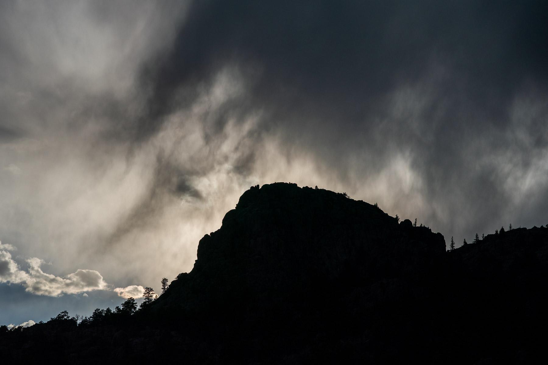
The remnants of Tropical Storm Harold will cause a sudden shift in regional weather starting Friday afternoon, bringing large amounts of rain and a risk of flash flooding to many Colorado communities.
The National Weather Service forecasts anywhere from one to three inches for many Front Range cities. Some areas could see even higher amounts than that in the span of a few hours, said Russel Danielson, a NWS meteorologist.
“Where exactly some of those three or four inch rainfall totals will occur, we don’t know yet,” Danielson said. “We just want everybody to be prepared.”
Harold made landfall in southern Texas as a tropical storm on Wednesday. Forecasters soon downgraded it to a tropical depression. The storm brought sustained winds of up to 50 miles per hour and caused widespread power outages.
The edges of the storm should reach Colorado late Friday morning, carrying cooler temperatures and cloud cover. Heavier rain will likely develop later that afternoon and last through the night into Saturday, Danielson said.
Areas around wildfire burn scars and roads in the Metro Denver and I-25 corridor with poor drainage are at the highest risk of flash flooding.
“The rain will fall very heavily and there will be a lot of it,” Danielson said.
Mountain community residents should look for higher ground at the first sign of flash flooding, according to the NWS. Drivers in more urban areas should avoid large pools of water on roadways, as they can disable low vehicles.
Harold’s remnants should move through the state by late Saturday morning. More storms are in the forecast for the rest of the weekend.