After three sustained days of negative temperatures and snow across Colorado, the state’s cold snap appears to be nearly over. However, the effects of the long weekend’s winter weather continue to be felt Tuesday, with several school closures, travel restrictions and flight delays.
Throughout the Front Range, high temperatures are expected to hit the high 20s and low 30s, with above-freezing temperatures expected to arrive Wednesday. Low temperatures are not expected to drop below zero.
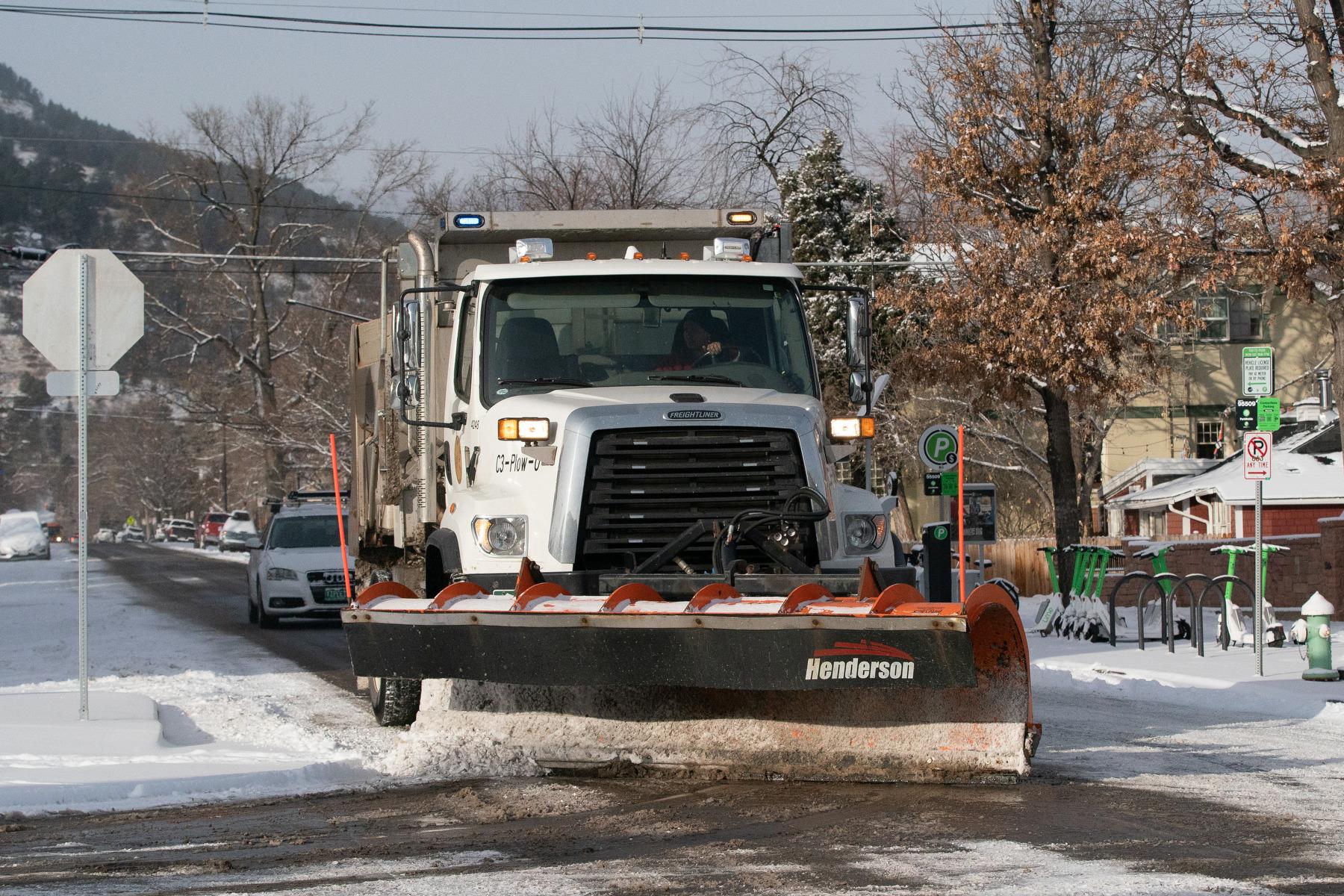
There will be a brief reprieve from snow Tuesday, but that isn’t expected to last long. While snow will likely be minimal on the Front Range, it will resume falling in areas above 10,000 feet elevation starting Wednesday. Between 2 to 7 inches is expected for towns along I-70.
The National Weather Service warns that snow and wind could combine to create dangerous road conditions on major mountain roads.
“Very windy conditions will occur in some areas with considerable blowing snow and poor visibility, especially over the higher passes,” the NWS said in a forecast.
On the Western Slope, temperatures will rise Tuesday, though snow will return Wednesday, with 2 to 4 inches expected for Grand Junction.
The Eastern Plains saw some of the coldest temperatures in the state, with lows below negative 10 in some places. Wind chill made it feel even colder, with gusts of wind making it feel like 40 below zero in some places. The NWS wind chill warning is due to expire later this morning as temperatures rise.
Mountain travel and recreation could be dangerous
Mountain roads are expected to stay slick and icy, with low visibility, making travel difficult or impossible in some areas. Parts of I-70 are subject to mandatory traction laws, meaning commercial and passenger vehicles must have chains, snow tires or other approved traction devices installed.
Winter conditions have shut down several highways across the state. The Colorado Department of Transportation’s COTrip website lists US-6, CR-381, CO-82 and more as closed as of Tuesday morning.
Avalanche danger is currently high, according to the Colorado Avalanche Information Center. A Sunday morning avalanche on US-40 along Berthoud Pass buried 10 cars, according to the Colorado Department of Transportation. No injuries were reported in the incident.
“You can easily trigger avalanches large enough to bury you,” the agency said. “Where strong winds drift, snow avalanches can release naturally. With another storm on Wednesday into Thursday morning, the very dangerous avalanche conditions will continue until Thursday.”
Backcountry skiing is not advised under current conditions. Avalanches can be easily triggered on slopes steeper than 30 degrees.
The subzero conditions have also impacted air travel at Denver International Airport. As of Tuesday morning, there were 109 delays and 116 cancellations of flights leaving or entering DIA, according to flight tracking website FlightAware.
Several school districts and governments will remain closed Tuesday
Students at some of the state’s largest school districts will get an extra day off as campuses will remain closed on Tuesday. Denver Public Schools, Aurora Public Schools, and Poudre School District are among the largest districts to close.
Colorado State University in Fort Collins has also opted to cancel classes on Tuesday, citing local road conditions. The University of Colorado Boulder, which was due to begin its spring semester Tuesday, has a delayed start.
Colorado’s state legislature, which began a new session last week, will also get a snow day Tuesday. Lawmakers will return to work Wednesday.