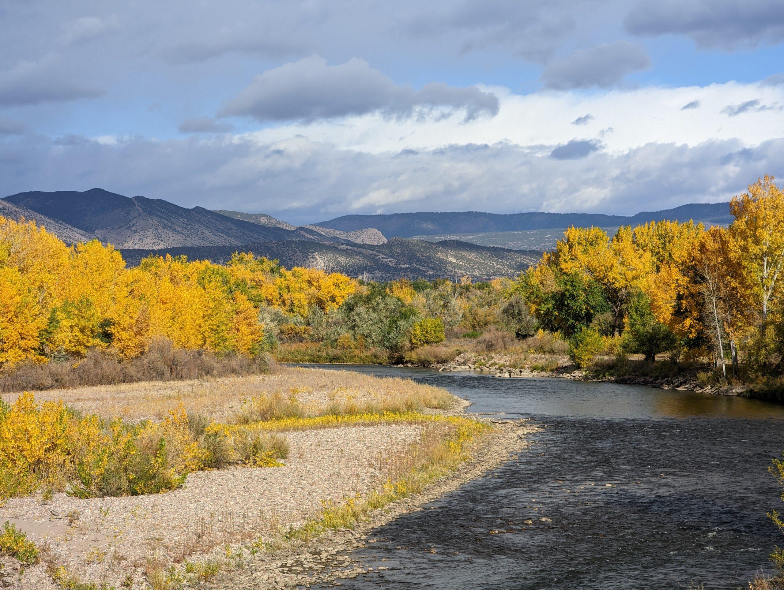
The Bureau of Land Management has a new plan that covers a huge swath of Eastern Colorado. It targets more than 650,000 acres stretching from South Park to the plains, mostly along the Arkansas River, as well as about 3.3 million acres of federally managed minerals across 37 counties.
The plan updates decades-old guidance and aims to “strike a better balance between the needs of the people and the needs of the land,” said Rocky Mountain District BLM spokesman Levi Spellman via email.
The more than 500-page document was nine years in the works and is known as the Eastern Colorado Resource Management Plan. The agency said it replaces two older plans.
Some areas are targeted for recreation and conservation while accounting for local cultural values and environmental justice concerns. It also removes energy leases from low-yield sites.
The planning area is divided into what the agency calls “human ecoregions” that are based on local input. They also looked at the effects the plan could have on low-income and minority communities. Spellman said they believe this is the first time this approach has been used by a BLM field office.
“There are new restrictions that apply to sites identified as having nationally or regionally significant cultural resources or sensitivities. These are now closed to certain uses, such as oil and gas development,” Spellman said.
After consultation with 17 different Native Tribes, the agency closed the White Buffalo and Sand Creek sites to mineral development. Also, the paleontology area at Garden Park in Fremont County has been expanded and closed to surface-disturbing activities like renewable energy development and oil and gas leasing.
Spellman said the plan stresses ongoing collaboration with Tribes.
Nine special recreation areas in Fremont and Chaffee counties are designated for mountain biking, rock climbing, and four-wheeling.
It also identifies five separate locations totaling about 60 miles of the Arkansas River, along with Eight Mile Creek in Phantom Canyon near Cañon City, as a potential Wild and Scenic River, a status ultimately conferred by Congress. If that were to happen, it would be the second river in Colorado with the designation.
“This new plan includes elements from the two older plans – both of which had special recreation management areas designated within them,” Spellman said. “However, under those plans, these areas lacked specific recreation goals and objectives, and they didn’t restrict other uses to help protect recreation in these areas.”
Other efforts to align the plan with new science and methodologies involve paying attention to the needs of local wildlife and to the land itself, and timing restrictions accordingly, for example through drought management and mitigation. The plan also protects soundscapes near national parks and promotes dark night skies.
Colorado Wildlife Federation and Pew Charitable Trusts both sent press releases lauding the plan.
- Raton, N.M. is close to transferring land to the Pueblo of Picuris. A casino may be on the horizon
- The public can now review Colorado Springs’ Master Plan for Blodgett Open Space
- A dispute over who has the right to the Arkansas River bed in Southern Colorado could have far-reaching consequences
- Southern Colorado could become home to the world’s largest Dark Sky Reserve