
Updated at 9:31 a.m. on Tuesday, Feb. 27, 2024.
A cold front headed through Colorado on Tuesday probably won’t have a significant impact on the Front Range, but mountain communities should get their snow shovels ready.
Today’s storm will likely drop less than an inch of snow along the I-25 corridor and Eastern Plains, according to the National Weather Service. Most of that will be on the ground by about 9 a.m., though some areas could continue to see snow into the early afternoon. A snow squall warning has also been issued this morning for Front Range counties.
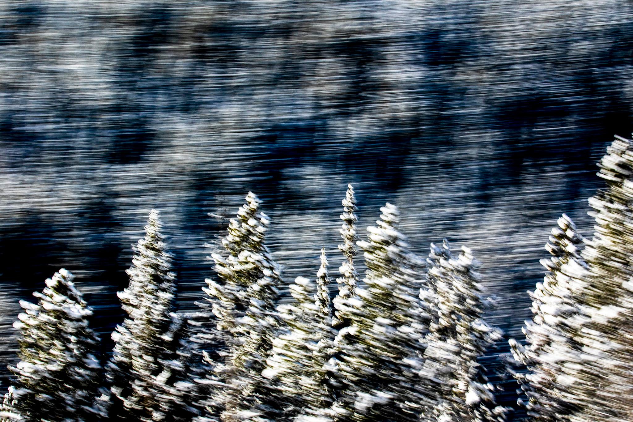
Meanwhile, many mountain communities, including Aspen, Vail and Steamboat Springs, are projected to get between 8 and 15 inches of snow by the time the storm passes Tuesday night.
Grand Junction will see similar snowfall to Denver, Fort Collins and Colorado Springs, with less than an inch expected. Roads will likely be very slick in all of those cities, however. Several snow squall warnings are also in place along I-70, particularly near Vail.
Besides the snow, high winds are expected across the state throughout the day. NWS forecasts project wind gusts around 30 mph for Denver and the Eastern Plains. Wind speeds could approach 85 mph in the high country. Gusts will blow between 35 and 50 mph on the Western Slope and in Southern Colorado as the storm system moves south.
High winds caused hundreds of delays at Denver International Airport on Monday, so travelers should keep a close eye on flight updates.
The temperature in Denver is forecast to have a high of 41 degrees during the day and a low of 15 degrees at night. Colorado Springs and Pueblo can expect temperatures ranging from 50 to 19 degrees as the day progresses. Grand Junction has a projected high of 45, with lows around 19 expected later tonight.