
Mild temperatures and some fire danger are predicted in parts of Colorado this weekend, while a winter storm is headed for the mountains.
A winter storm watch for much of Colorado’s high country is in effect from 6 p.m. on Saturday through 9 a.m. on Monday. Impacted areas include locations along the I-70 corridor, such as Aspen, Georgetown, Glenwood Springs, and Vail.
During this time, between 4 and 10 inches of snow are possible. Travel will be difficult with winds gusting as high as 55 mph. Some areas, like Steamboat Springs and Rabbit Ears Pass, may see up to 18 inches of snow, according to Ayesha Wilkinson of the National Weather Service in Boulder.
“But this is preliminary right now, just because models aren't in agreement on how much moisture is coming," Wilkinson said.
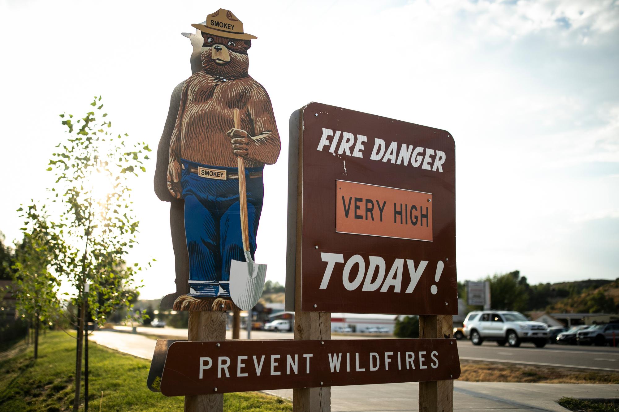
Meanwhile, in the eastern half and southern portion of the state, a red flag warning will be in effect from 10 a.m. through 7 p.m. on Saturday.
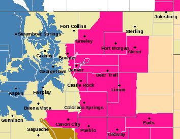
Red flag warnings indicate dry and windy conditions that make it easier for fires to spread rapidly. People should avoid burning things outdoors and other activities that may cause a spark and start a wildfire.
Weekend conditions along the Front Range, including Denver, Boulder, and Colorado Springs, will be mild, with temperatures in the mid-60s on Saturday and high-50s on Sunday. Snow is possible Saturday night through Sunday, with projected accumulation under 1 inch.