
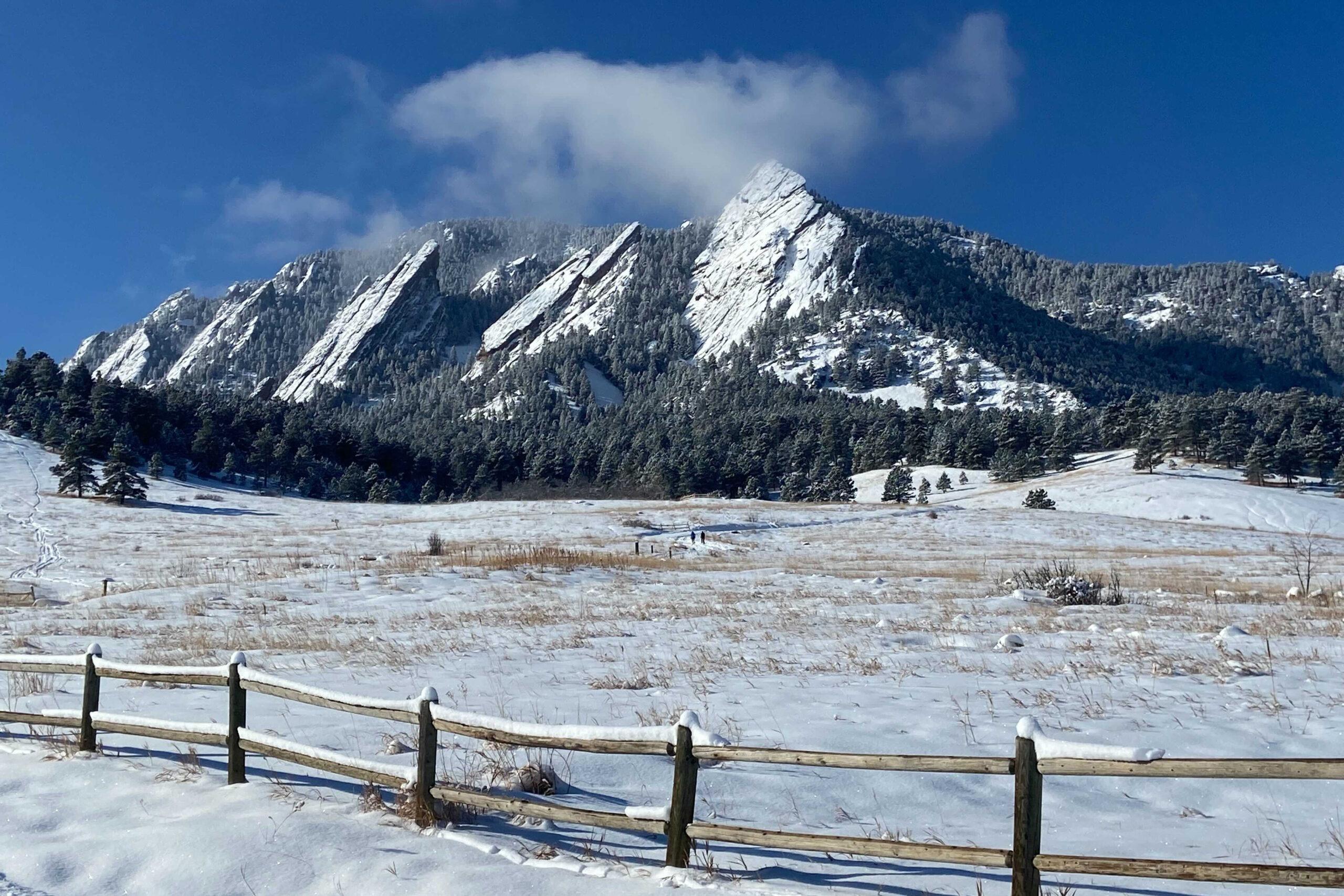
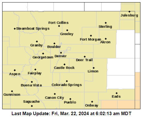
Nearly all of Colorado will enjoy mild temperatures and sunny skies Friday, with temperatures in the mid 60s. Those conditions will stick around into the start of the weekend , but rain and snow are predicted across much of the state Sunday.
Denver and the I-25 corridor can expect temperatures in the mid-to-low 60s on Saturday, with mostly sunny skies. Grand Junction will see similar conditions. Things will be a bit warmer in Pueblo and Colorado Springs, where temperatures are expected to reach the low 70s.
Closer to Loveland Pass and in the high country, temperatures will linger in the mid-to-low 40s during the day.
Much of the state can expect high winds throughout the day, particularly on the Western Slope and in Southern Colorado. Gusts will blow between 10 and 20 mph in many areas. Temperatures across the state will drop into the 30s overnight in many areas as a storm moves into the region Sunday.
For lower elevations, including the Denver metro and Colorado Springs, the National Weather Service predicts a showery Sunday with “rain changing to snow Sunday night” and a light accumulation of up to three inches.
There is potential for heavy snowfall in the mountains, southern foothills and Palmer Divide Sunday night, however, with travel impacts that may extend through Monday morning.
Colorado’s mountain regions and the I-70 corridor will likely see “at least a moderate snowfall,” according to Chad Gimmestad, a meteorologist with the National Weather Service in Boulder.
“It could be heavy, especially late Sunday, Sunday night,” Gimmestad warns, with accumulation between 6 and 12 inches.
This storm may hit quickly, creating conditions for a snow squall.
“A snow squall is basically a heavy shower, possibly a thunderstorm, but instead of rain, it's snow,” Gimmestad explains. “The precipitation is heavy and then it's done.”
The term “snow squall” has recently gained popularity among meteorologists because these brief but intense winter weather events are particularly hazardous for drivers.
“If you're driving down the road and you go from nothing on the road to all of a sudden the visibility is low and the road is snow covered,” Gimmestad explains, “a lot of people get into trouble.”
But snow squalls aren’t the only hazard facing travelers in the Rocky Mountains this weekend. Motorists traversing US 40 Berthoud Pass between Empire and Winter Park are “encouraged to be alert for possible small bank slides due to warming temperatures and heavy snow,” according to CDOT.
Two slides took place on Wednesday, March 20. No vehicles were involved.
CDOT crews will be active along the pass throughout the weekend. Travelers are advised to “slow down, drive carefully and provide space for crews and machinery,” according to a statement from the organization.
There will be little to no snow on Colorado’s eastern plains, though gusty winds are likely.